3D LASER SCANNING
3D Laser scanning
3D laser scanning makes it possible to establish the existing situation in detail. A 3D scanner is used to create a 3D image of the environment. The scanner measures more than 1 million points per second. The distance to the scanner is recorded for each point in the space, which gives each point its own XYZ coordinate. An intensity value and colour can also be registered for each point to better visualise the scanned environment.
3D point cloud
All these scan points are processed together into a 3D point cloud of the environment. Accurate measurements can then be made on this point cloud. These measurements form the basis for creating 2D plans, 3D models, isometries, analyses, basic engineering, clash detection and more.
3D laser scanners and software
At Think 3D, we monitor evolutions in hardware and software very closely. We work primarily with Leica 3D laser scanners, and supply our data in Leica, Autodesk or Bentley formats as standard. Do you work with different CAD software? Then we will work together to find a delivery format that you can get started with straight away.


Scanning for industrial applications
Think 3D specialises in 3D laser scanning for various industrial sectors. The high level of accuracy, speed and scope of the scanner makes it possible to collect 3D information in a short space of time for:
- industrial installations
- steel constructions
- storage tanks
- etc.
3D scan as the basis for your project
Are you considering using 3D laser scanning for the first time?
Or have you been using this technique for your projects for years already?
Think 3D always carries out a site visit before starting a project. During this visit, we discuss the scope of the project and check the accessibility of the environment to be scanned. We also discuss what approach to use and go over other aspects such as safety and planning.
Our experts are always available to offer advice. Brief training is provided upon delivery so that all users understand how to use the data and can get started straight away.

Talk to our experts about your situation!
Contact us now for non-binding advice on using 3D laser scanning for your projects.
Combination with other techniques
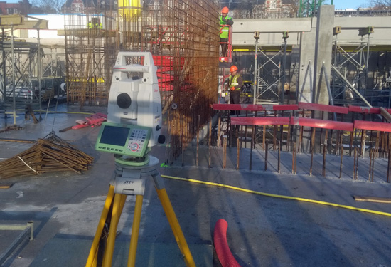
Land surveying
Think 3D has been part of the expert land surveying firm Teccon since 2020. This offers clients various benefits:
- We have a larger scan team with more expertise so we can help you faster and better.
- If your scan project needs to be geo-referenced on your site’s coordinates, our experienced land surveyors take these measurements.
- And now you can also count on us for all your other land surveying services, too.
Underground measurements
We map underground objects without digging! The position of the objects is marked on the ground or plotted on a plan.
Detection of underground objects:
- Cables and pipes
- Drains and sewage systems
- Cavities
- Foundations
- Etc.
We combine various non-destructive techniques for this such as ground radar, radio detection, inspection cameras, etc.
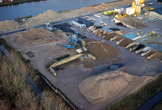
Measurements with drones
The drone land surveyor focuses on taking aerial photos for surveying purposes and applications. It processes this data into geographical information:
- Orthophotos
- Plans
- 3D models
- Volume determination
- Etc.