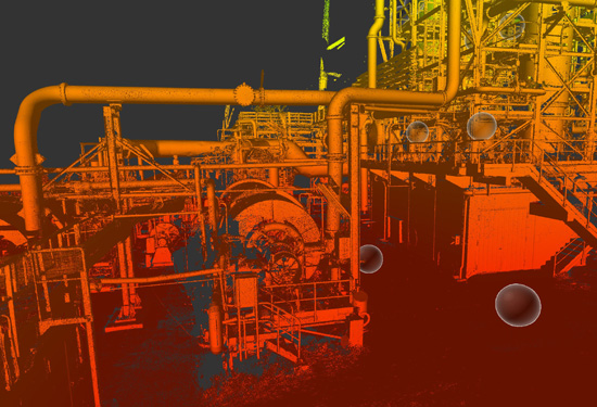
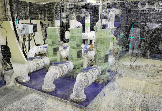
3D point cloud
3D point cloud
After the onsite scanning, we create a 3D point cloud.
From 3D scan to 3D point cloud
We load the scans into the software in our office, then link the individual scans to each other and perform visual inspections. This results in an accurate 3D point cloud that displays the scanned environment in 3D.
The point cloud is geo-referenced or positioned within the site’s local coordinate system if desired.
Black-and-white or colour point cloud
The point cloud can be supplied in black-and-white or colour. For the colour option, the scanner first scans the environment and then takes photos. It then combines these photos with the point cloud in the software to give us a colour point cloud. The colour adds value in an environment with colour-coded pipes, for example.
Point cloud formats
Point clouds can be supplied in various formats:
- Recap
- Ptx and pts
- E57
- …
These formats can be loaded into various software packages. Please feel free to let us know which software and format you want to work with.
Applications
This point cloud forms the basis for various applications:
- Clash detection: combination of the point cloud and a new CAD model
- Engineering: 2D plans, 3D models, isometries…
- Analyses: deformation, settlement measurements, roundness…


Talk to our experts about your situation!
Interested in using 3D laser scanning? Want to find out how 3D point clouds can add value to your engineering projects? Our experts are very familiar with technical and industrial environments, and will be happy to help you with your projects and measurement questions.
Please contact us now to discuss your options.